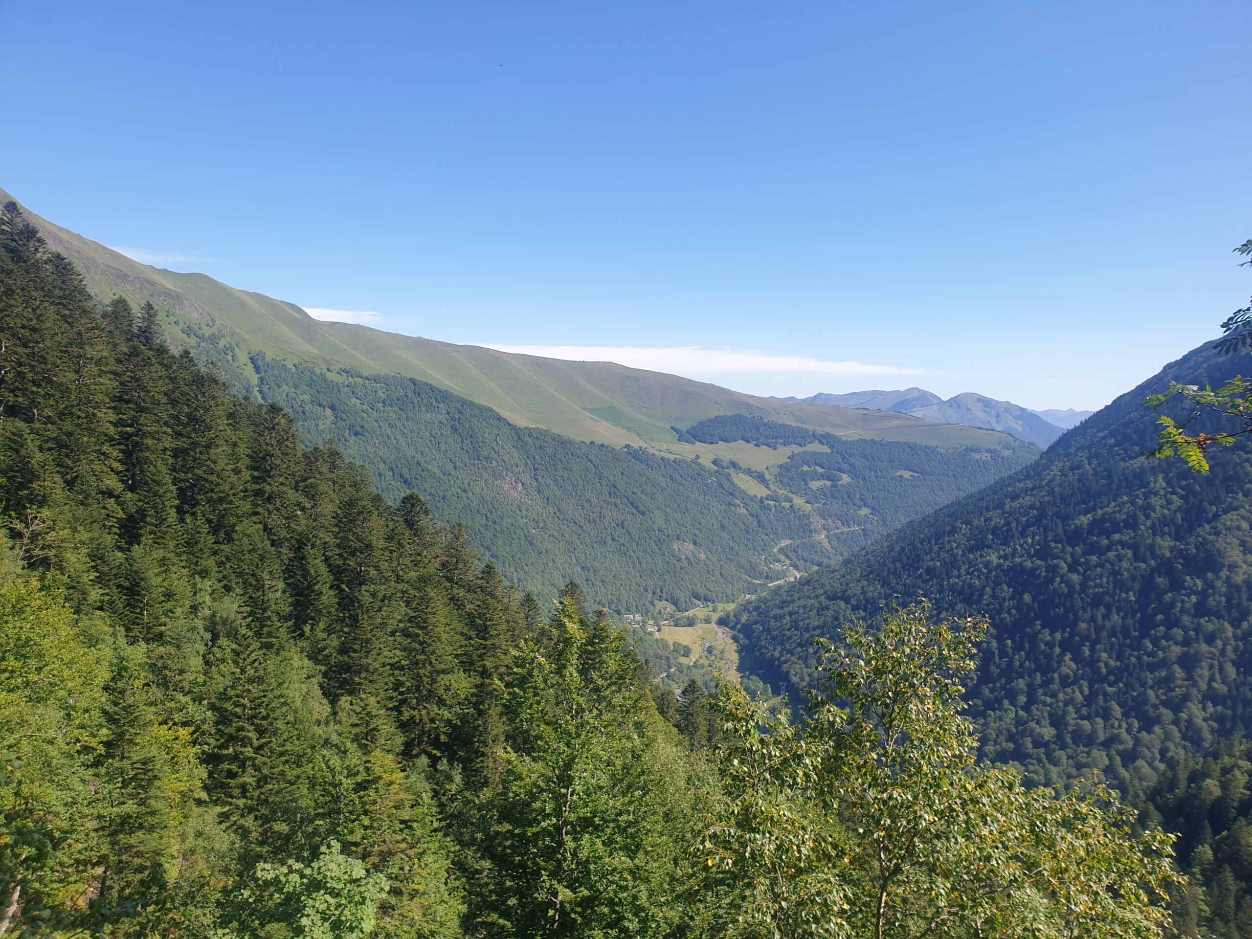
Just 10 km from Luchon on the road to Superbagnères, the Vallée du Lys is the starting point for many picturesque walks. The stream that runs through it, the Lys, is a tributary of the Pique.
Contrary to popular belief, the Vallée du Lys does not take its name from the flowers that adorn it every June. Its real spelling Batche dera Lit, Vallée de la Lit, means Valley of the Avalanche.
From this sumptuous site, surrounded by high mountains, you can enjoy walks of varying levels of difficulty.
A few metres past the car park, the Enfer waterfall is one of the most beautiful in the Pyrenees. Further on, after an hour’s walk, you come to the Enfer chasm. Continuing on, the Ru d’Enfer is an impressive projection carved out of the rock by the waters. The more adventurous can try their hand at canyoning under the supervision of a guide.
Strollers will be delighted by the walks to the Pré de l’Artigue. More experienced hikers can tour the lakes (Lac Vert, Lac Bleu, Lac Charles and Lac Célinda).
The Vallée du Lys is also the starting point for hikes to the high peaks of the Luchonnais. This is particularly true of the Pic du Maupas (3109m), which is remarkable both for its panoramic views and for the beautiful climbs it offers on its south, west and north faces.
Above the Vallée du Lys, in the Crabioules massif, mines were being exploited at the beginning of the 20th century. Originally, the ore (lead, zinc and blende) was sorted on site and then brought down by mule. An overhead cable with skips was later installed, enabling more extensive mining. The ore was then processed in the valley washing plant, the ruins of which can be seen today opposite the inn. Mining ceased in 1914, as operating costs had become too high to be profitable.
Man’s influence on the valley is evident in the presence of the hydroelectric power station. Water from the Lac Bleu and Lac du Portillon flows through the tunnels and penstock that can be seen descending from the mountain, powering the turbines. At 1,419 metres, this penstock is the largest in France. A cable car used to provide access from the bottom of the valley to the top of the pipe, but in order to reduce operating costs and the visual impact, it has been dismantled. EDF now carries out the necessary work by helicopter.
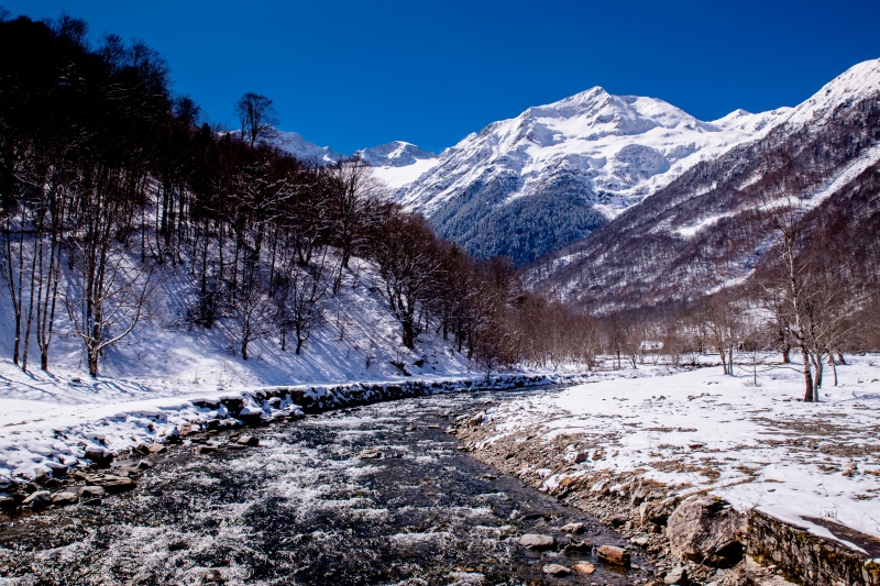
Hiking in the mountains, even at low altitude, requires a certain knowledge of the environment and a large number of precautions. Contact the professionals and check the weather forecast before setting off. In winter, the many avalanche paths above the Vallée du Lys mean you need to be extra vigilant.